The distances and places we want to ride make hiking maps too small. We’d ride across them in hours. Bigger area maps that are mainly for through traffic are better but don’t show alternative backroads and tracks. Bike signs are sometimes ok but in vast parts of the world they are not. There are times when bike tourers, unfamiliar with a region, are on a road with most of the motor vehicles because that’s where the signs are. Maybe there are alternatives routes that are better but we’d prefer to be sure before we head down those tracks or lanes.
Garmin, Magellan and others have produced some “map-and-GPS-enabled” devices. They built in, or make available for transfer, a variety of cycling routes. This came about in the context of GPS navigation being developed for motor vehicles. These bike-specific devices have evolved to be quite good. Some are Bluetooth and wi-fi enabled and “tracks” can be transferred to and from them. They can synch with phones and wheel or bottom-bracket mounted sensors that feed in the bike speed. Some offer route profile information, voice instructions, and bike computer roles like distances and averages. They offer a relief from the limitations, in some regions at least, of paper maps.
There are some issues with these bicycle GPS devices however. Most of the screens are a bit small. Some of them have out-of-date maps. Some are slow to recharge and require (when recharging) a steady constant current which may not match your dynamo-based recharger. Some have clunky menus especially when compared to smartphones. So for our list of basic needs, we are bypassing them.
A Smartphone
Smartphones, with intuitive menus, touch screens and zoom-in/out capability have jumped ahead. Combined recently with bigger more “viewable” screens and so many mapping apps being developed
for them, your navigation device for bike touring may as well be your smartphone. You can charge it from a wall socket or from the bike dynamo (when the headlight is turned off and your speed is over about 8kph).
Smartphones do have a few limitations to be aware of. They are not super robust and so should not be dropped. Glare is an issue. It’s easier to read the map when in shade. They can get too hot if they are horizontal in direct sun. This is an issue in the high 20s and over. To protect themselves they simply turn off. That’s when you need to keep it in your back pocket rather than in the top of a handlebar bag or other horizontal mounting such as Quad Lock.
An App on Your Smartphone
Just go to one of these sites and download the app. You only need to do it once.
For android phones go to Open Street Map (here its free and you need to register).
For iphones go to Motionx ($3. You can buy the app through iTunes)
For either iOS or android Gaia GPS ($22. great for off-road)
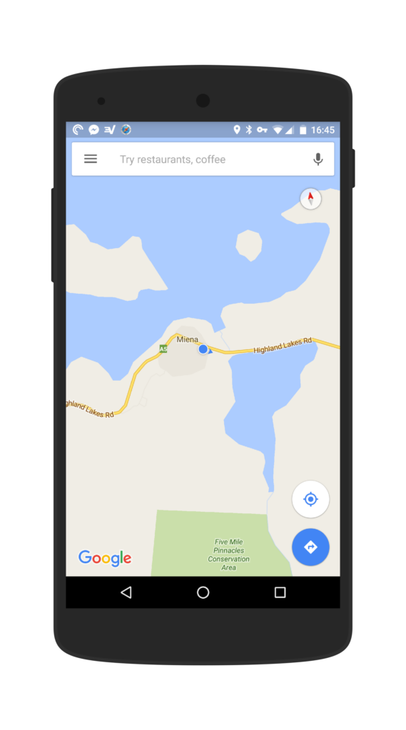
It is ok to have more than one. You’ll be asked, when downloading a route, what you want to view it on. An app icon now sits on the screen of the smartphone. Through these apps, highly detailed maps may be loaded into the device memory. Specific country or regional maps may be selected. The ones you want are likely to be free or cost very little. Keep in mind, one map file can contain every street directory for an entire country. Download when you have a good connection as the files are big.
When you are riding you don’t need to be on-line as the map is now in the phone memory. As long as you are outside in view of the satellites, the GPS locator button will show your current location on that map as a pulsating blue dot or small triangle.
Occasional Access to the Internet on Your Smartphone
You don’t need an active sim card in the smartphone for it to work as your navigation device. If you tour a lot you may have two smartphones. (One with a sim for phone and photos and one for navigation.)
However you do need access to the internet on the navigation device occasionally. In order to pick up the app in the first place and later to pick up any email transfer of a route (track) not created on this device.
People wandering around the world on bicycles become adept at finding free wi-fi. The good news is that this is becoming easier and easier. There are now even towns and cities where there is free wi-fi.
An example is Napier NZ where you have 30 minutes free per session in the whole downtown area. Others are hotels, campgrounds, cafes and airports. You can’t tell if you have access until you look so keep an eye on that. Also be willing to ask. There is no harm in walking into a hotel lobby and saying you are passing through but have perhaps neglected to upload a route and it will only take a few minutes if you could have wi-fi access.
Wrist Compass
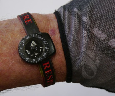
A compass is a necessity and is simple to organize and use. It needs to be up above the bike due to interference from ferric metal and possible magnetic handlebar bag closures. Rather than use the compass in the smartphone which would consume power, we have found the best option to be a wrist compass on an armband. They are accurate enough when you just need to orient your device screen to North.
Route Development Skills
You can and most likely sometimes will download routes but this may not be enough for you. There is a more detailed discussion in the Route Planning article.
Holding the Smartphone
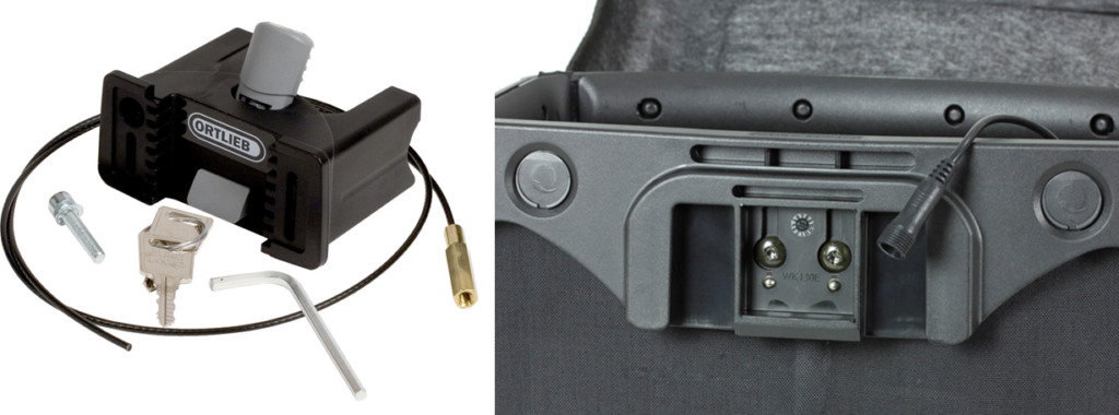
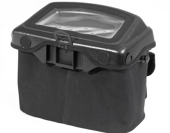
It is ok to keep the device in the back pocket of your ride top. This works very well. There are also a lot of mounts for smartphones these days. Quad Lock is a popular one. Vivente World Randonneur test rides recently have been using the Ortlieb Ultimate6 Pro handlebar bag. This Ortlieb bag has a clamp which gets connected to the USB port on the AXA headlight on post July 2015 Vivente World Randonneur bikes. The clamp presents two brass terminals.
When the bag is mounted to the clamp, a wire inside the bag becomes ‘live’ when the headlight is turned off. You need to be moving at least 8km/h.
They are a bit pricey so make great gift ideas if your friends want to know what you want for your going away present!
Summary
A smartphone, a mapping App on your smartphone, occasional access to the internet on the smartphone, a compass and route development skills.
See Some of Our Latest Test Rides
-
Drop bars in the real Balkans
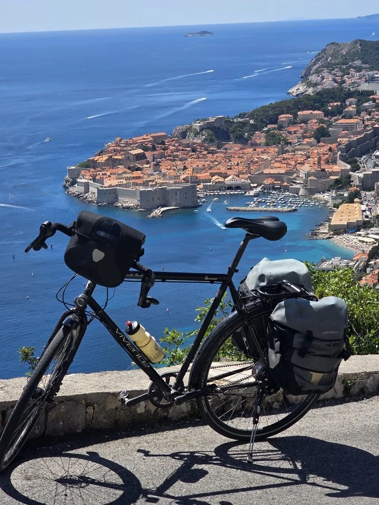
This corner of Europe has come to our attention recently through the development and promotion of the Trans Dinarica Cycle Route. But for a long time the region seemed intriguing, if not a bit impenetrable. Back in the early 1960s, after Dervla Murphy rode through what was then Yugoslavia on her way to India, she…
-
The Gentle Gradient: Uncovering Victoria’s Gippsland Rail Trails
In Australia, Victoria has a strong history of cycle advocacy. Over the decades, the state has accumulated extensive bicycle infrastructure.
-
Exploring Maharashtra, the 2,000-year-old Ajanta Architecture and the Ellora Caves
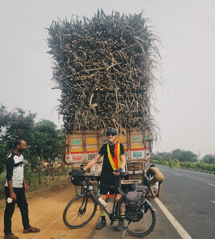
A ride on the Deccan plateau, from Nagpur to Hyderabad via the Ajanta and Ellora Caves. We chose the Swabia model, with 40mm Goodyear tyres and 50:19 Rohloff gearing.