This corner of Europe has come to our attention recently through the development and promotion of the Trans Dinarica Cycle Route. But for a long time the region seemed intriguing, if not a bit impenetrable. Back in the early 1960s, after Dervla Murphy rode through what was then Yugoslavia on her way to India, she told us about it in Full Tilt. Over the last 25 years Vivente rides have skirted the region, cycling in Bulgaria, Serbia, Greece and up the Adriatic coast, but on this ride we wanted to see the area in the middle. The real Balkans.
We chose 40mm Goodyear Transit Tour tyres with tubes. Drop bars and 50:19 Gates sprockets. There were some steep bits, but it was nice having the top gear for some descents, though it was usually too rough to reach high speeds.
Over the 1,750km journey there was not a single bike issue, not even one flat tyre.
The ride unfolded in two sections.
The Southern Section, Route Planning, the EU, eSims and Road Conditions
The ride started in Thessaloniki in Greece and followed the Vardar river through North Macedonia and then into Kosovo.
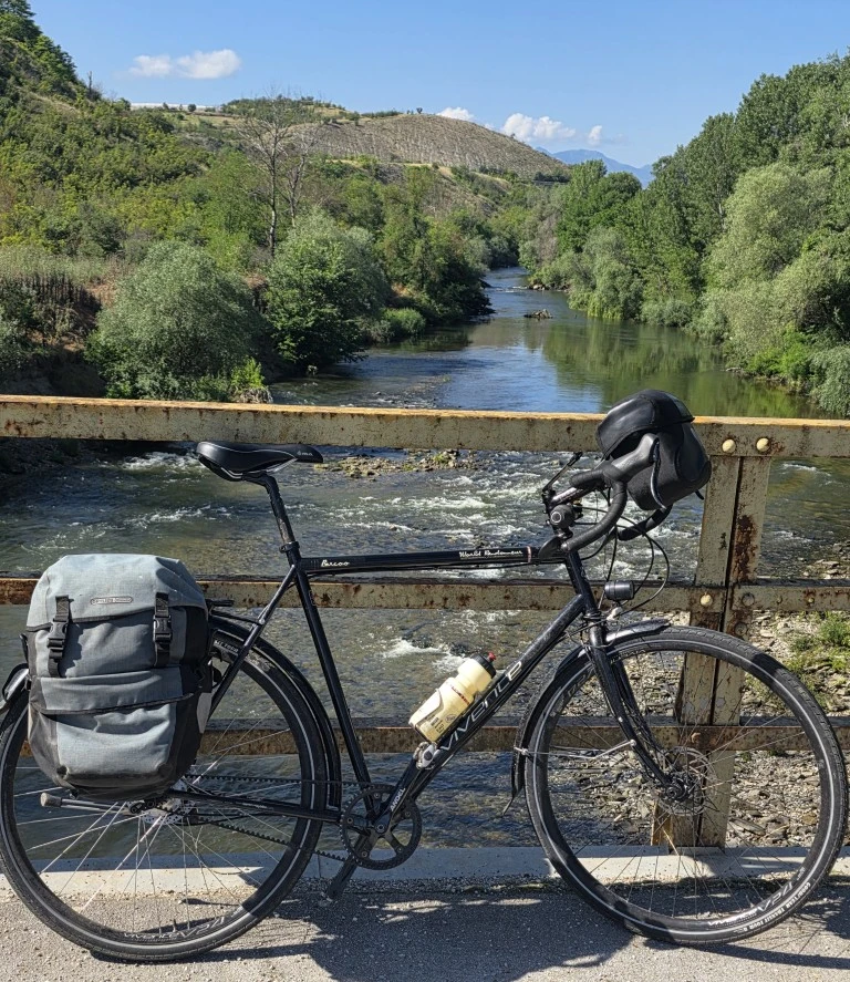
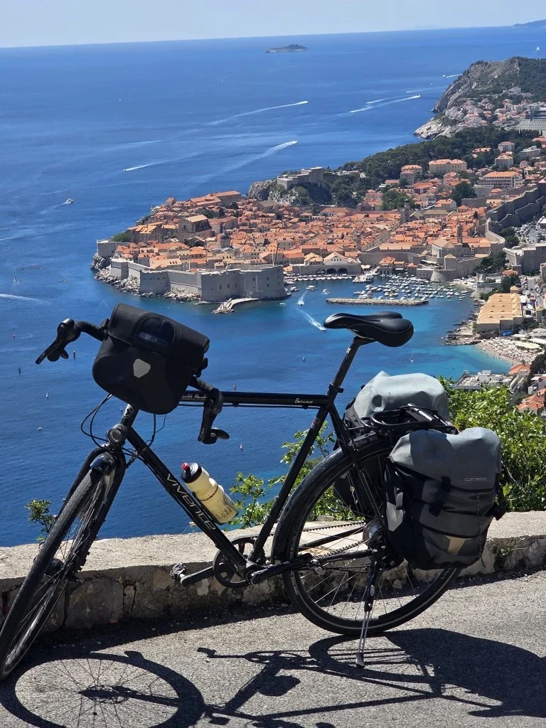
By Pristina, the Kosovo capital, we were at 650m. Then, swinging west and south west, through Montenegro and Albania, we were in mountains. Arriving at the Adriatic coast and following it north to Dubrovnik in Croatia, we were still in mountains.
It’s amazing country but the roads are often dangerous. You really need to really focus.
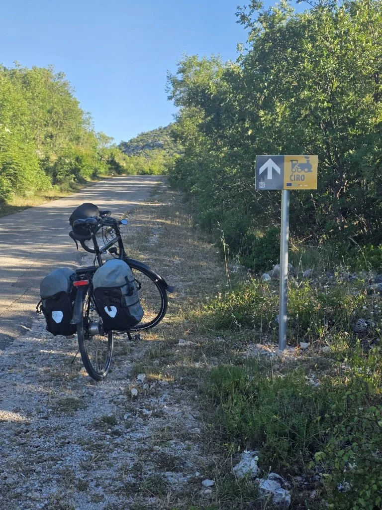
From Dubrovnik, heading inland again, we took the Ciro Trail to Mostar in Bosnia and Herzegovina. That is across a dissected plateau. The Ciro trail is great.
Heat waves are making June riskier for riding in Europe. Iberia in particular but France across to the Balkans also. By late June, temperatures were in the mid to high 30’s. We started early each day.
For route planning we continue to use google maps. In the Balkans this means choosing the walking mode because cycling is not offered. At least the walking mode option gives us elevation gain numbers. Google does come up with some interesting route suggestions! Unlike a fixed GPX route, such as from Komoot, as long as you occasionally have an internet connection, Google maps will recalculate a route and often will offer more choices.
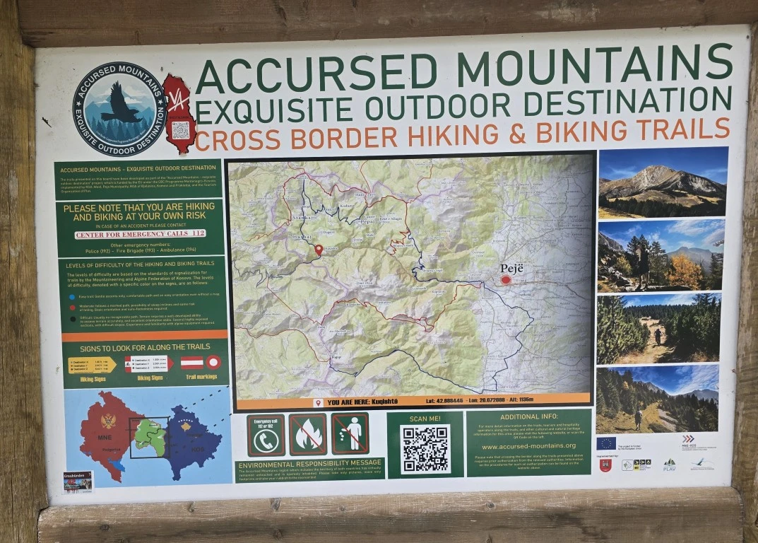
There are networks of hiking trails, particularly in the Accursed Mountains. They are generally not ridable.
For the Ciro Trail, we used Komoot and downloaded their offline map. There is no internet reception in much of that region.
We used two different eSims. Airolo at first. But with Airolo, when you cross a border, you need to get a new eSim and you need to be online to activate it. That would work if you were in a wifi café etc but it does not necessarily work at a border checkpoint. Simify, which appears as eSIM io, avoids this by having a single eSim regardless of where you are.
This tour was through nine countries so the dependability of the connection after a border crossing was important.
We rely on the internet for navigation most of the time. With eSIM io, you may purchase your days for a country before arriving in it. When you arrive, it connects (activates), automatically although not immediately. Simify gets our tick, out of the two.
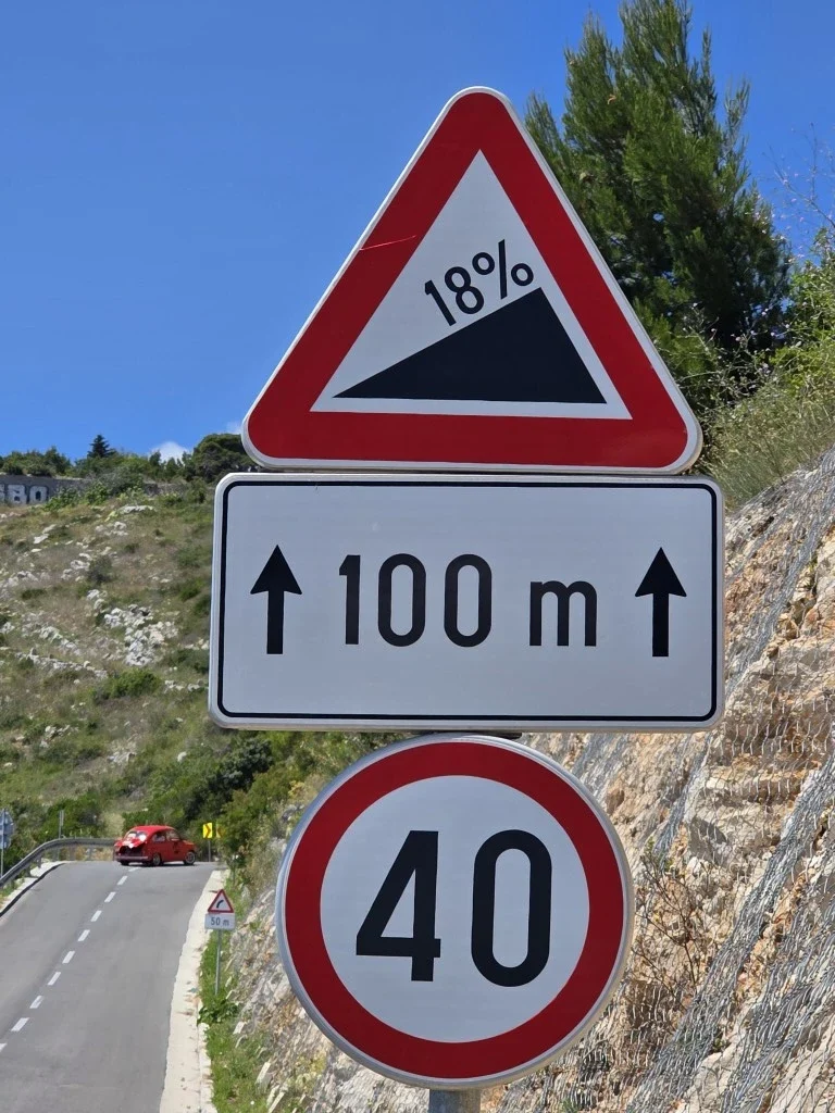
Sometimes on mountain tracks, we don’t see a human for hours. But some other times we are forced onto intensely busy highways with no edge and a cliff to the side. South of Dubrovnik was particularly like that. There was no alternative.
A particular hazard arises from some roads having weak foundations. Over time and in the heat, trucks have made depressions which in turn have developed side-bulges in the tarmac. These are hard to see if you are looking straight down onto them in bright sun. There is no road shoulder, so you are also looking at the mirrors a lot.
For wider vehicles, like buses and trucks, we want to move over to the very side of the tarmac but it’s risky to move out of the depression.
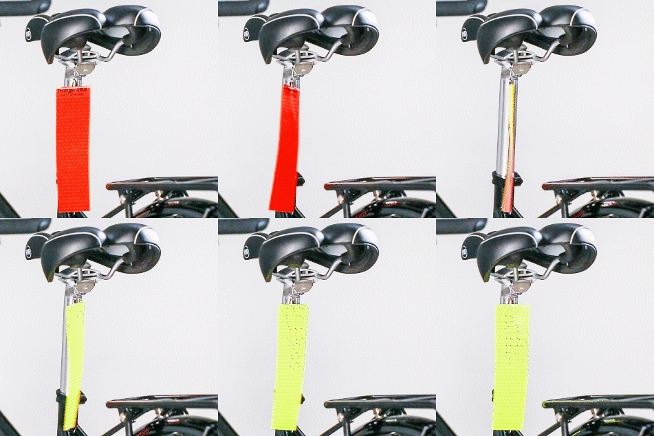
Arising from that experience, new Vivente bikes will come with a rear high-viz spinner, which is only 13 grams.
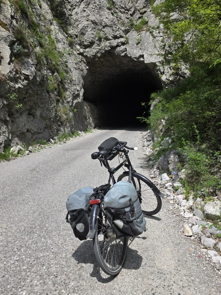
We rode through several unlit tunnels that weren’t straight and had no shoulder. You have to remember to remove sunglasses before going in. You can’t do it in there.
Obviously, lights are necessary. Sounds are magnified in tunnels. Motorbikes go too fast. A light on the helmet would be good and could let you know where the side is. Mental note: carry one of those light head torches always.
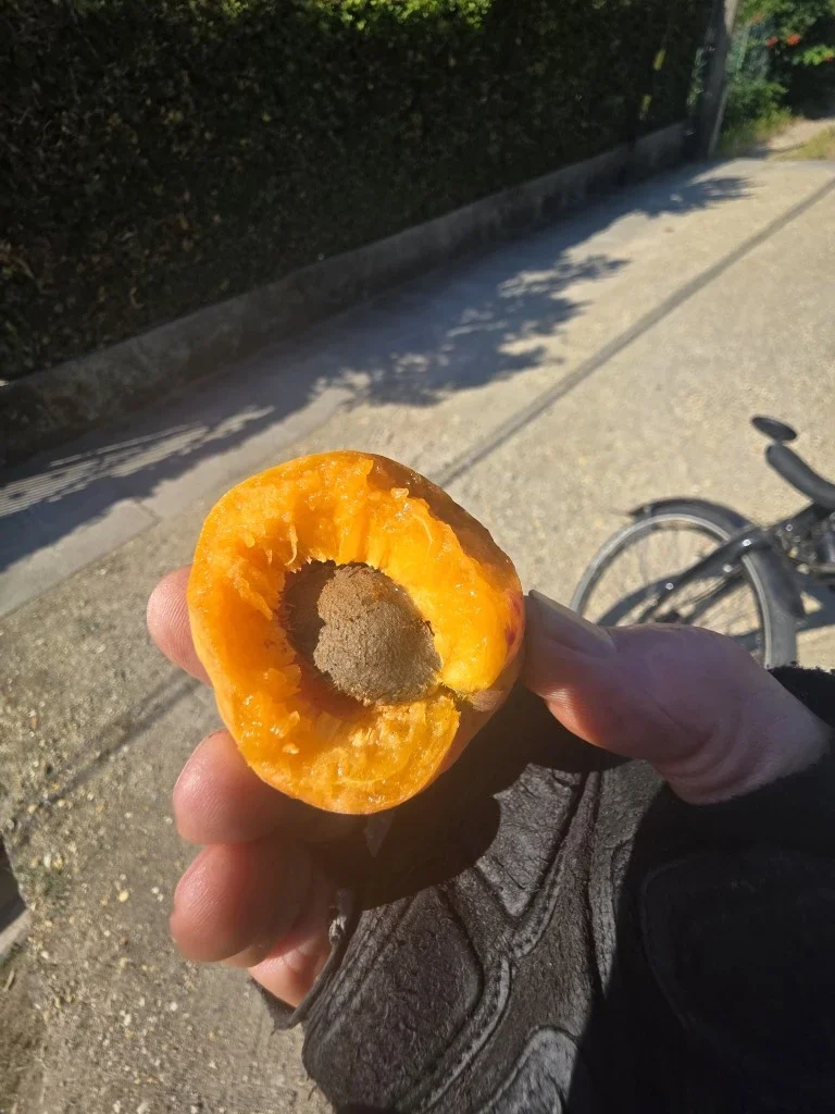
If you come in August/September, you can eat figs and grapes from the roadside every day. In June, it’s cherries and apricots. There is nothing better than a big ripe apricot picked straight off the tree.
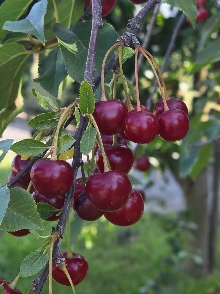
Montenegro is particularly beautiful. The mountain roads are quiet. There are small dairies, blueberry farms and hazelnuts (pictured). But often it is too rugged for human settlement.
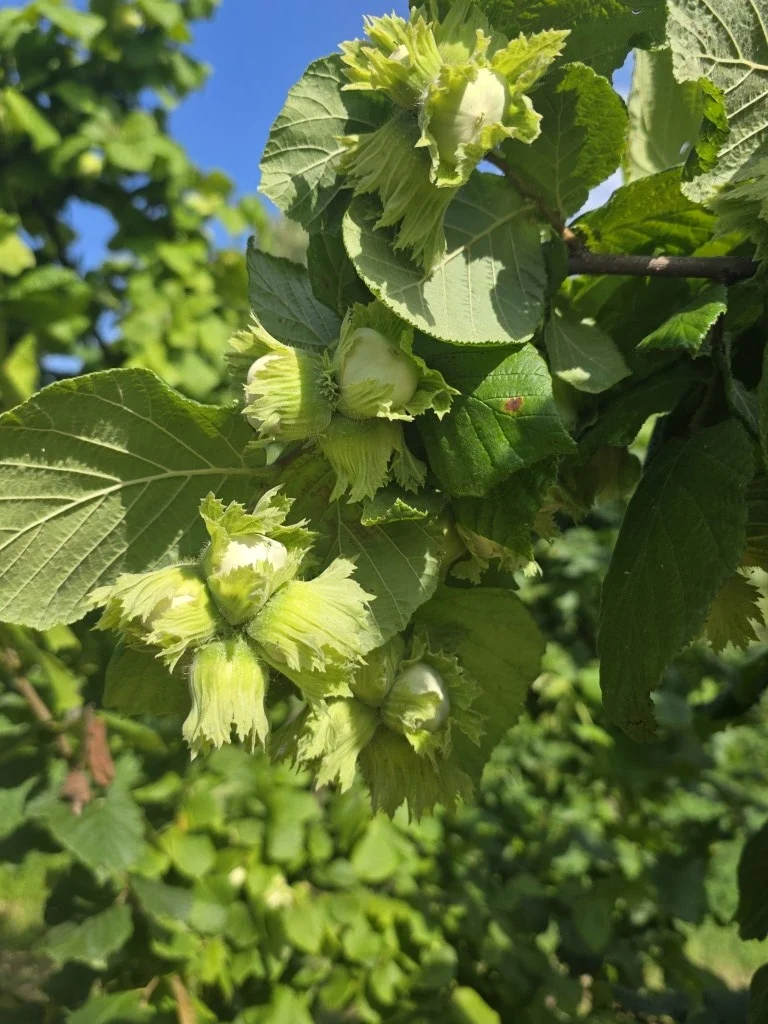
Apparently, there are bears but they did not show themselves. There were lots of turtles and snakes. Lots of raptors. And some amazing big beetles.
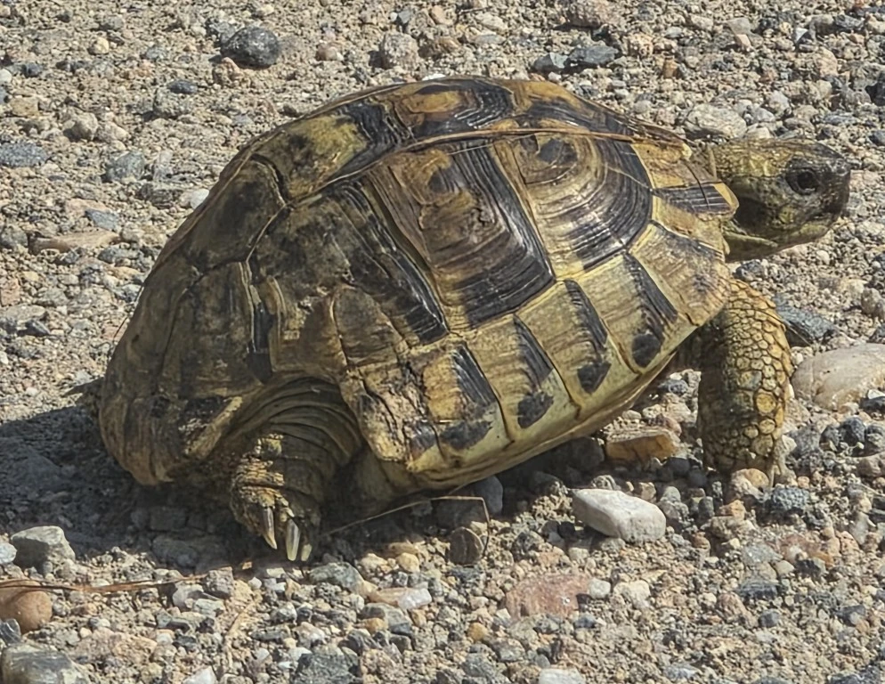
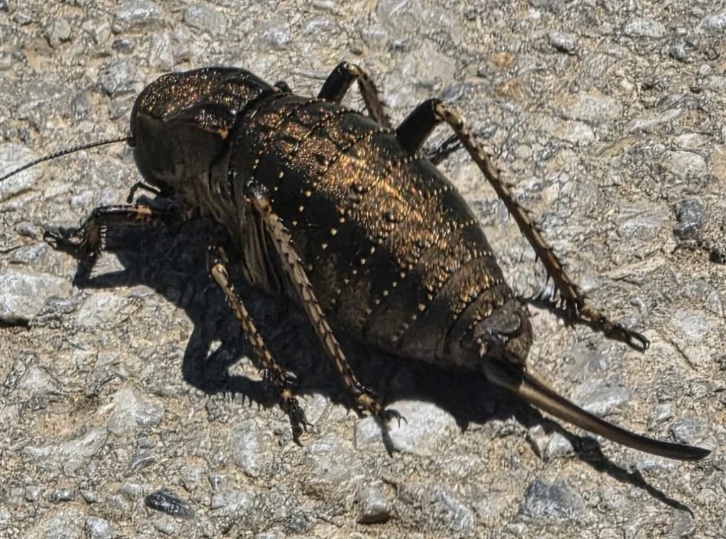
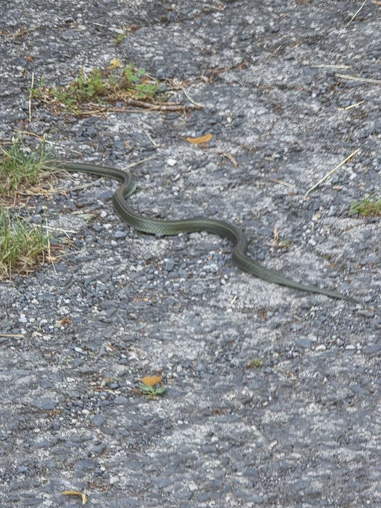
Yugoslavia arose after the fall of the Austro-Hungarian empire, after WW1. The country broke apart after the Soviet Union broke apart. In the 1990s, a series of violent civil wars resulted in seven independent states There was genocide. Now there are cemeteries everywhere.
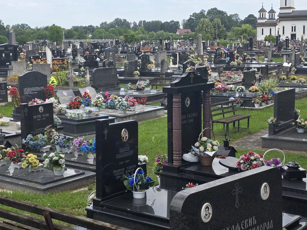
The Union (European Union) is providing a path. Croatia and Slovenia are already in the EU. Five other Balkan countries are official candidates. Croatia and Slovenia are also in the Schengen zone.
The decline of Britain, post Brexit, is generally regarded throughout Europe as proof that it’s good to be in a customs union (single market)
Whereas western Europe has become markedly anti-American in recent years, particularly under Trump, in the Balkans, pro-American sentiment is more evident. Especially in Kosovo. In Pristina, we rode along the BILL KLINTON Boulevard!
Albania, Montenegro, North Macedonia and Slovenia are all in NATO.
The EU has made some big loans, most obviously for motorways. Modern road infrastructure is widespread and has changed life throughout the region.
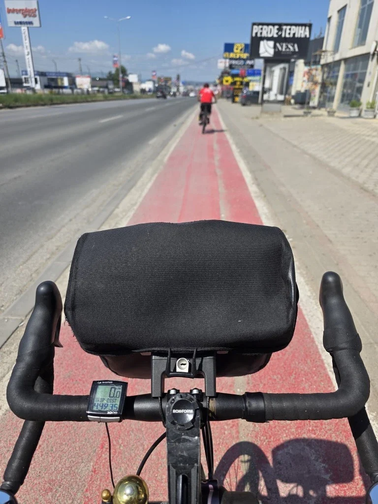
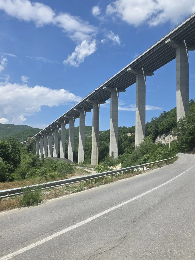
Not all diplomatic relations are good. You cannot cross from Kosovo into Serbia unless you entered Kosovo from Serbia in the first place. Serbia will view this as an “illegal entry” because you lack a prior Serbian entry stamp. To them, Kosovo does not exist. To enter Serbia from Kosovo, you must first take a detour into a third country, such as Montenegro or North Macedonia, and enter Serbia from there.
Some borders require permits to cross. For example, between Peja in Kosovo and Plav in Montenegro there is an offroad crossing just for hikers and cyclists. You have to apply online and it takes a few weeks to come through.
There isn’t a road as such, you just follow a track.
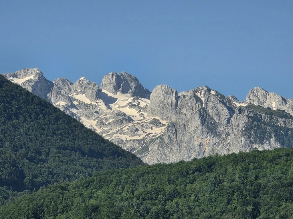
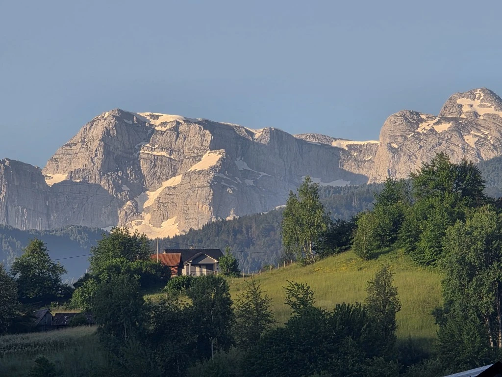
Albania, to the south of Montenegro, has stunning snowy alp vistas, even in summer.
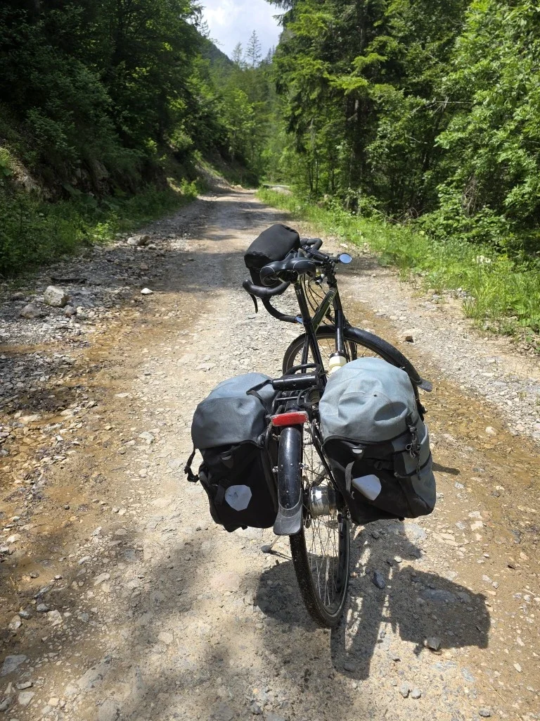
The Ciro Trail that follows an old railway line to Mostar is good. Allow two days. You are in the wilderness most of the way.
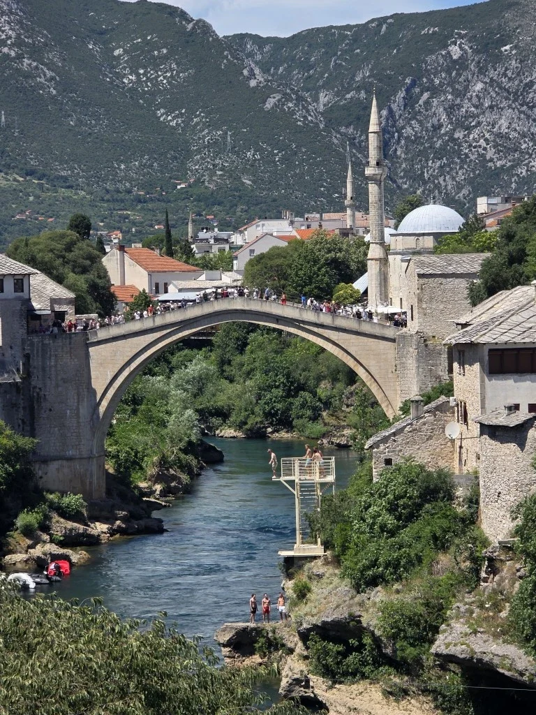
Mostar itself is a tourist city because of the amazing bridge.
Northern Leg to Budapest, Lake Balaton, Road Conditions and Packing
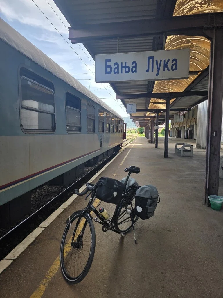
Inland, in northern Croatia and Bosnia, there is widespread agriculture and industry. There are wider roads, fewer cliffs on the sides of roads, more towns and more roadside fruit. A tour of the Balkans should include the north from Banja Luka.
On the way there we wanted to visit Sarajevo. It’s the capital and a famous place.
Riding from Mostar to Sarajevo looked hard. It would be another mountain highway ride. Up and down 3,300 metres with a lot of tunnels. Taking everything into account, we took the three hour train and got a few days to check out Sarajevo.
From there we used more transport up to Banja Luka to start the northern leg.
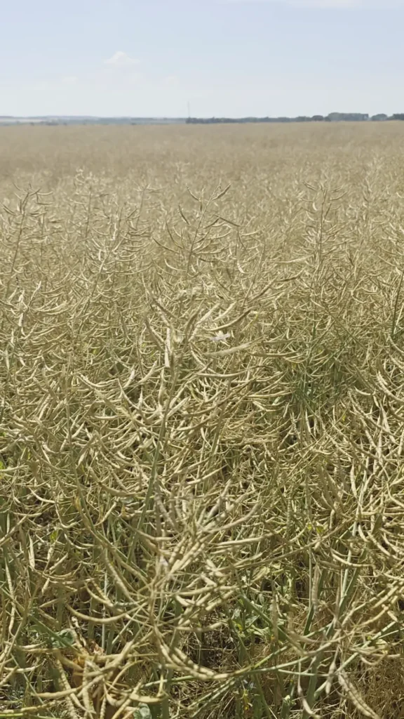
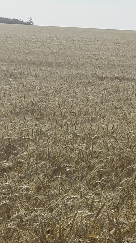
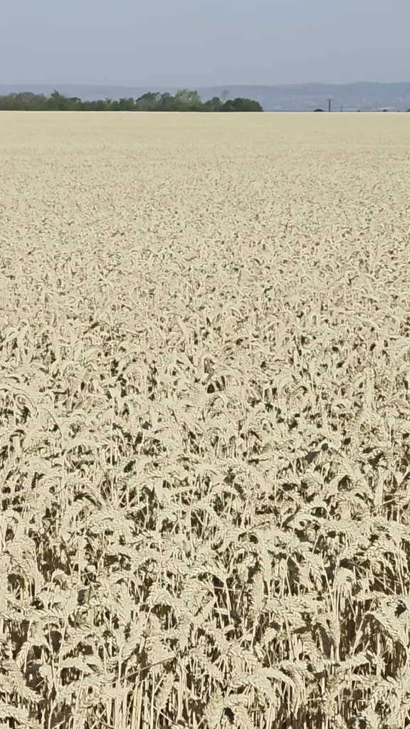
The north has more typically European landscapes. There is soil! It is fertile, sometimes lush, with kiwi fruit orchards, walnuts growing wild everywhere, hazelnuts, berries, and dairy. There is extensive grain growing.
On our two prior rides in Hungary, Lake Balaton was often mentioned and this time we rode the full length. It is a cycling paradise. It’s flat and there are hundreds of rideable kilometres. The number of bikes is reminiscent of Bodensee between Germany and Switzerland. The lake is about 100km long. Although it freezes in winter, because it is only 3 metres deep, the water is warm in summer.
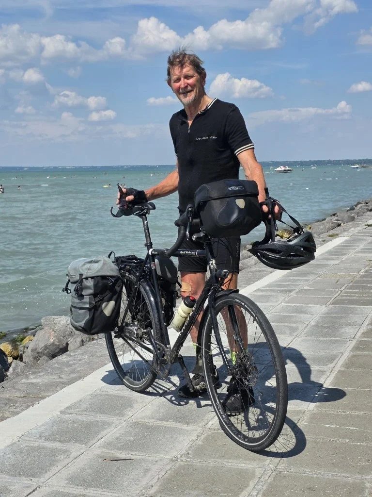
There are frequent trains from Budapest, running the full length of the lake, which, at its closest point, is 100km from the city. The trains have prominent bike carriage signs. These are likely Budapest people spending a few days cycling at Lake Balaton. There are thousands of them.
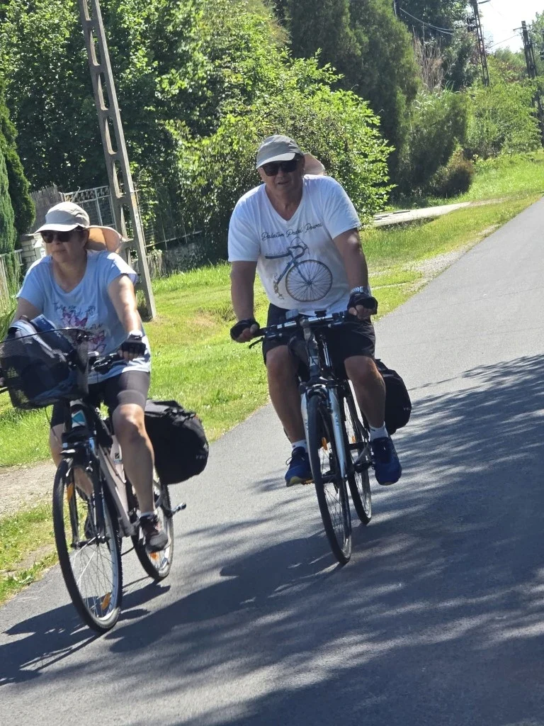
We didn’t even consider using the train to reach Budapest though. This turned out to be a problem. There is the expressway connecting the lake and the city: the E71 that we can’t ride on. And there is the old highway, Route #7. Generally, we’d expect to use the old highway, and, if we are lucky there might be some parallel and more local roads. Google directions suggested the old highway #7. But, it was not long before “no bicycle” signs were encountered.
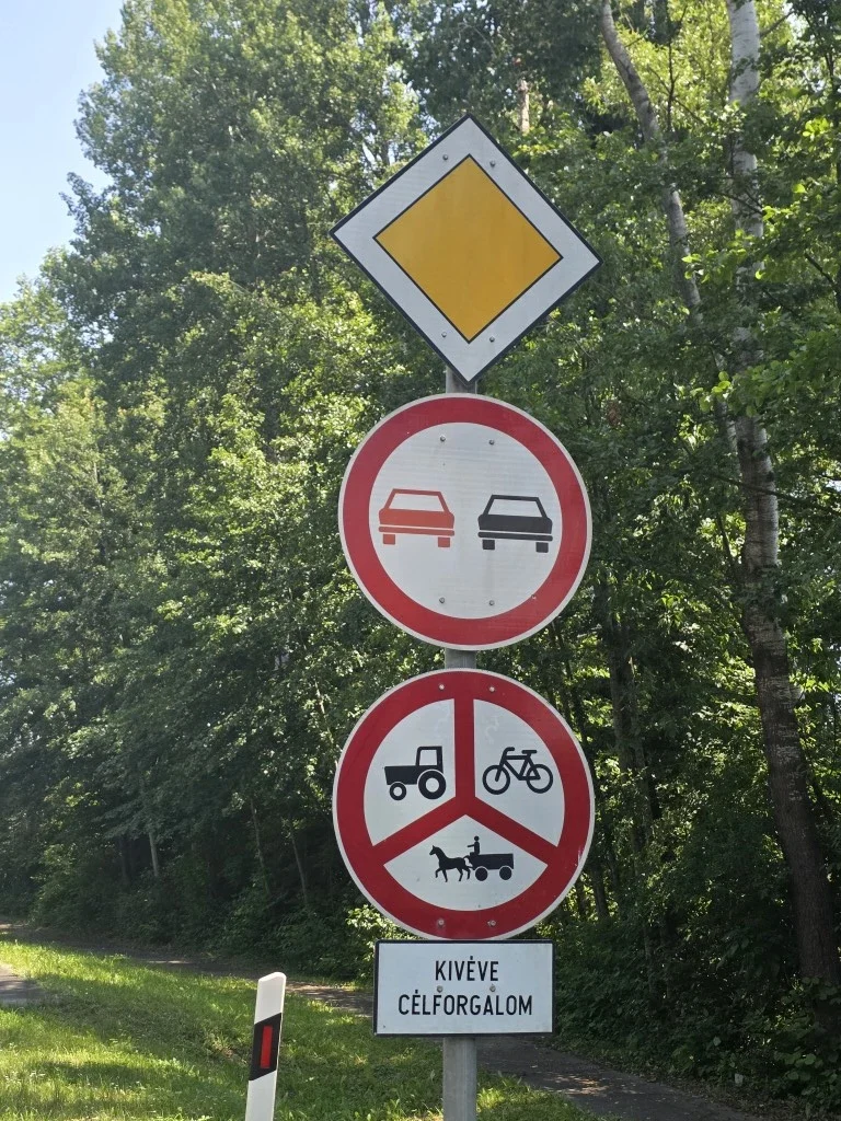
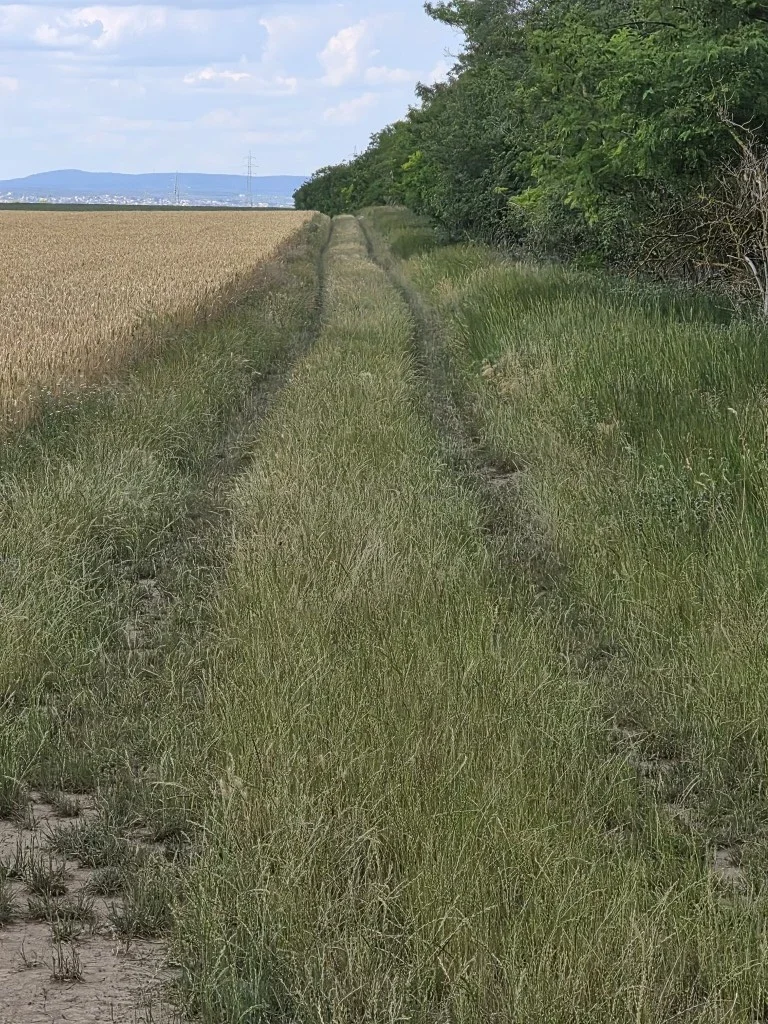
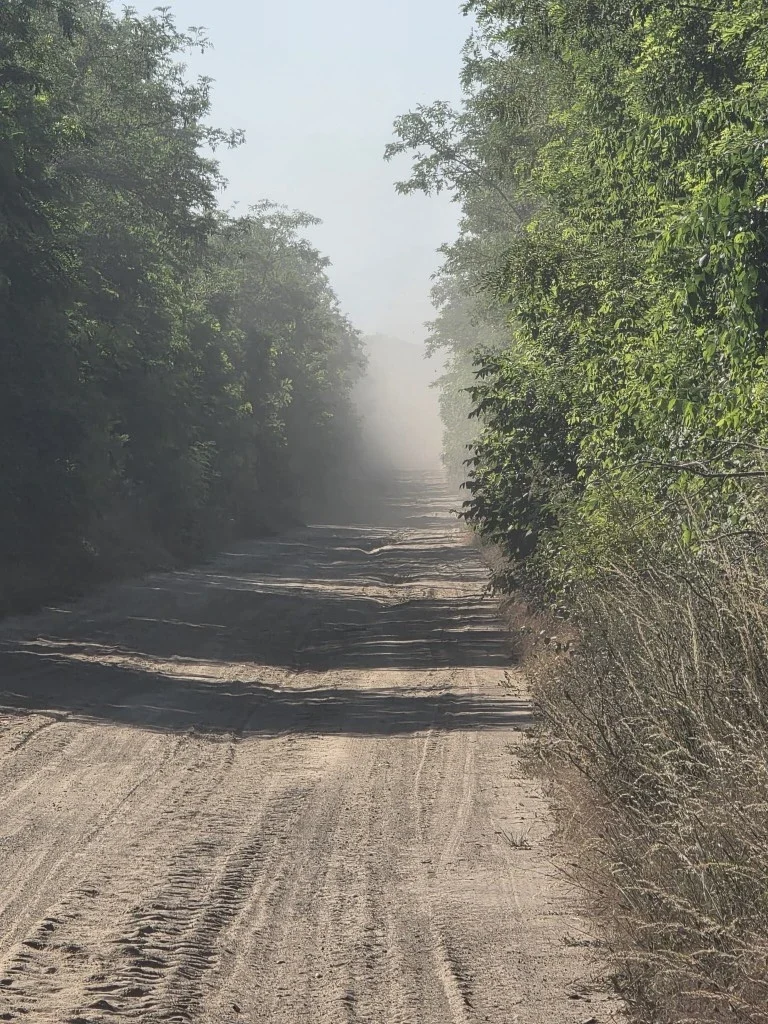
We had to completely leave #7. The restriction sent us on 100km of farm tracks! Elsewhere in Europe, that yellow sign means bikes are welcome.
Arriving in the departure city, Budapest, contrasted with the hinterland we had just been in. There are wide streets with generous bike lanes and cycling privileges. And lots to look at! We love Budapest.
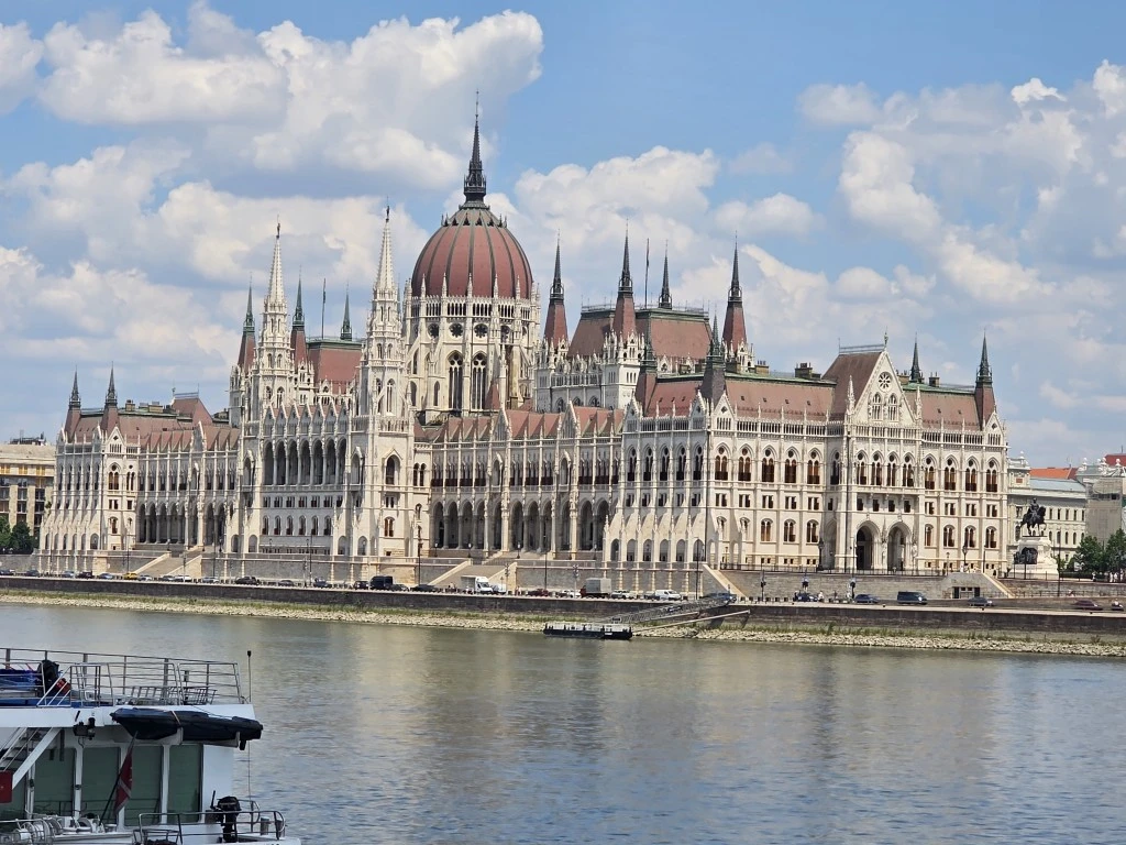
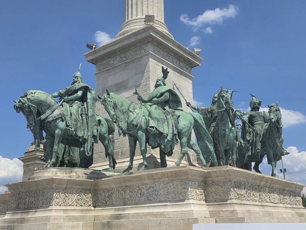
Getting home
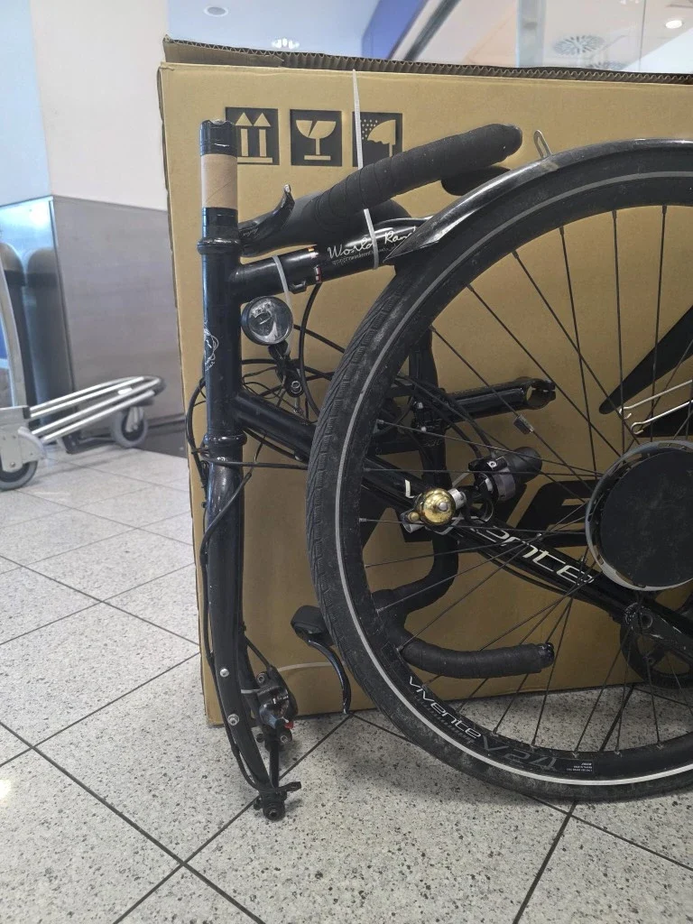
A brief note about the bike carton that was acquired and brought to the airport for packing. This carton was about 3cm too short. By taking off the front disc brake calliper and rotating the forks, the bike fitted perfectly. It’s not uncommon for touring bikes to be a bit longer, mainly because of longer chainstays for heel clearance.
We’ve made some product observations through this report already.
- We are implementing (on new bikes) the “Vivente Spinner”. As a new safety feature
- The 40mm tyres were the right choice.
- Wide handlebars would have been more risky than drop bars (50cm) on some of the narrow roads, although Gibb bars (58cm) are not much wider.
Also, we are going to carry a head torch for unlit tunnels.