A three-week, 1,750 km ride from Warsaw to Amsterdam on a Vivente Swabia, following Polish backroads, stretches of EuroVelo 10 and northern German and Dutch cycling infrastructure, mostly into 19 days of headwinds.
We cyclists say we want lightweight bikes as if we don’t want to expend energy, but then we do the opposite by climbing mountains. We were reminded of that on this ride from Warsaw to Amsterdam. The route is mostly flat, but riding east to west meant 19 consecutive days of headwinds.
Using drop handlebars helps to get out of the wind, but at times you wish you had gone the opposite direction.
It’s been many years since we’ve ridden in Poland. In that time the country has done a lot of work on its cycling infrastructure. What makes it even better for travellers now is that the intricate details of the infrastructure are visible to us on cycling apps.
If you are not a local, it’s best to have a smartphone, with a map, a route and a GPS location. Otherwise, you’d be constantly overshooting, missing key bridges over canals, missing tunnels under expressways and generally going further than need be.
Smartphone batteries are lasting longer and they recharge faster. We have roaming internet access through eSIMs or we can use typical (e.g. Telstra) phone plans, keeping us connected.
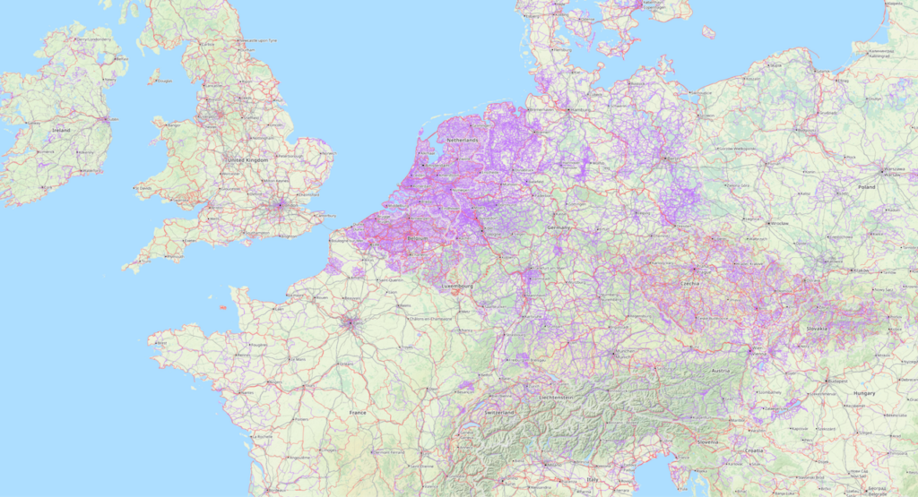
Cycling apps let us ride farther with less navigational stress. We can see, in a zoomable way, where we are on a detailed map that also has our route. The apps are so detailed as to even show, within a metre, where to cross a road.
On this ride we are testing the app, Ride with GPS. And we are using Google Maps.
The programming to have the data compiled and given to us as routes, is transforming cycle touring.
We are on a Swabia with 40mm tyres. It’s a three week ride of 1,750km across Poland, Germany and the Netherlands. Despite the dense settlement, the route spends long stretches in forests, farmland and coastal landscapes. That is made possible by the route-settings we apply through the apps.
From Warsaw, North to Gdańsk
The main Polish city on the Baltic Sea is Gdańsk. There is a EuroVelo route (EV10) along the Baltic coast although it is not always exactly on the coast. A direct ride from Warsaw to Amsterdam would miss the Baltic so our first leg is north to Gdańsk, to the Baltic Sea. In 500km from Warsaw we barely get above 100m above sea level all the way. It’s windy all the way.
On the news they are talking about drought and heatwaves in much of Europe. There have been fires in France, Spain, Portugal and Greece. But in Northern Poland the corn is lush. The rivers are running. It’s a perfect season.
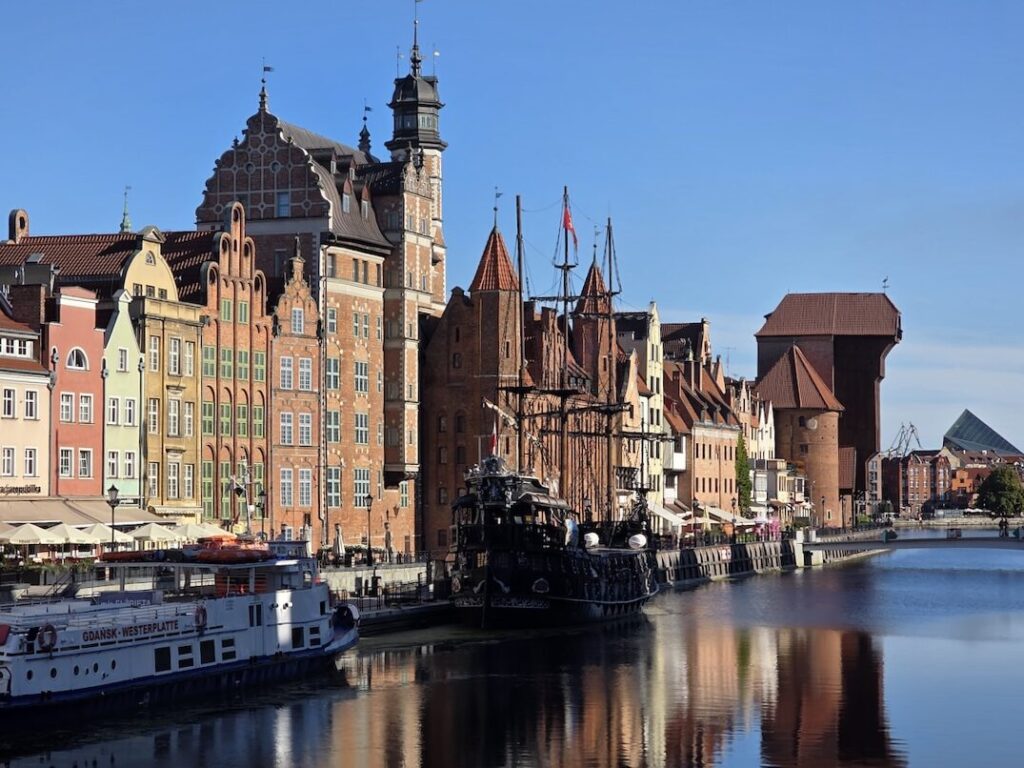
Gdańsk is a port, a ship building city and a Polish cultural centre. It’s a great cycling city to have a rest day in. Lech Wałęsa, the revered Polish leader, was a worker in the shipyards here.
Gdańsk to Szczecin
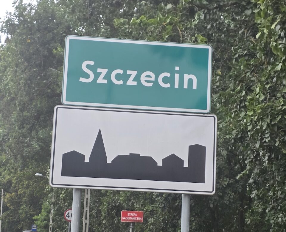
The Polish language uses the letters y, z, and c a lot. If you type into a search “Szcz”, one of the suggested questions the search will throw up in “How to pronounce Szczecin”.
Needless to say there are lots of forests of Baltic pine growing in the sandy soils across the north. There are numerous lakes in low, poorly drained land.
From Gdańsk we head northwest to join EV10. School holidays are still on. The bike route is really busy with both long-distance travellers and Polish families on holidays.
The subtle nods of acknowledgment between riders is a beautiful thing.
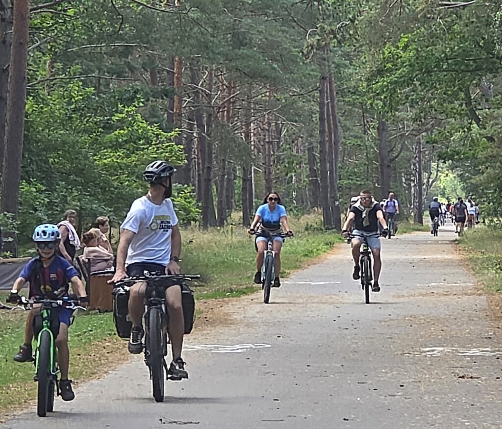
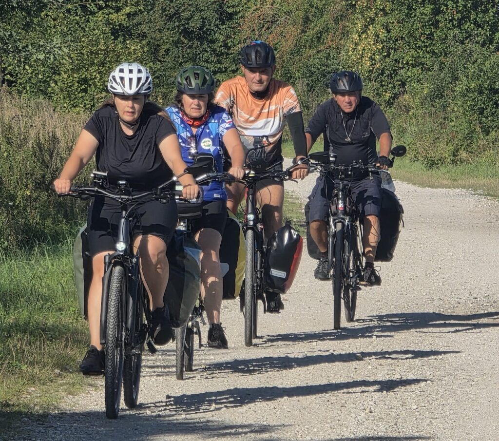
On the coast, the route is quite sandy. The go-to surface treatment on the sand is a bumpy line of concrete blocks. But it was fun to be on EV10 for a while.
Prevailing westerlies have produced vast sand dunes and a unique landscape. Słowiński National Park was set up to protect the dunes but they seem to be unstoppable anyway, moving at up to 9 metres a year and already burying a town.
In Poland, the proximity of Russia is palpable. Riding through, one can’t help but be aware of the history. Poland has the same problem as Ukraine. It’s really good land and both Germany and Russia have coveted it. Living space, as the Nazis called it.
Modern Poland was formed out of Prussia in November 1918 after the Armistice. Much of the land had been a battleground. A year after the (1917) Bolshevik Revolution, Lenin in Russia saw an opportunity and invaded Poland. There were several other border wars in eastern and Baltic Europe after WW1 but the Polish-Soviet War (1918-1921) was the longest.
The Poles fought the Russians off. Twenty years later the Nazis invaded from the west. During WW2 the Russians invaded from the east again. The last Soviet troops didn’t leave until 1993. Needless to say, the Poles are wary of the Russians.
Poland has ramped up military expenditure and now has the largest standing army in Europe.
Poland has nearly 40 million people. Polish GDP per capita is half of Germany’s but almost double Russia’s. It feels like a rich country and by Russian standards, it is. Meanwhile, Germans come here for cheaper holidays.
There are a lot of Ukrainian men in Poland, avoiding the war in their own country.
There are visible signs of Poles’ support for Ukraine for example in the blue and yellow ribbons on catholic monuments. They are united by being against Russia. But memories that Poles were massacred by Ukrainian ultranationalists who briefly allied with Nazi forces in World War II still linger.
Polish farmers are offside because Ukrainian grain is dumped in Poland when Odessa and the Black Sea export route is blocked. Also, Poland needs Kyiv’s drone technology. Nothing is simple.
We reach Szczecin, and soon after, the German border.
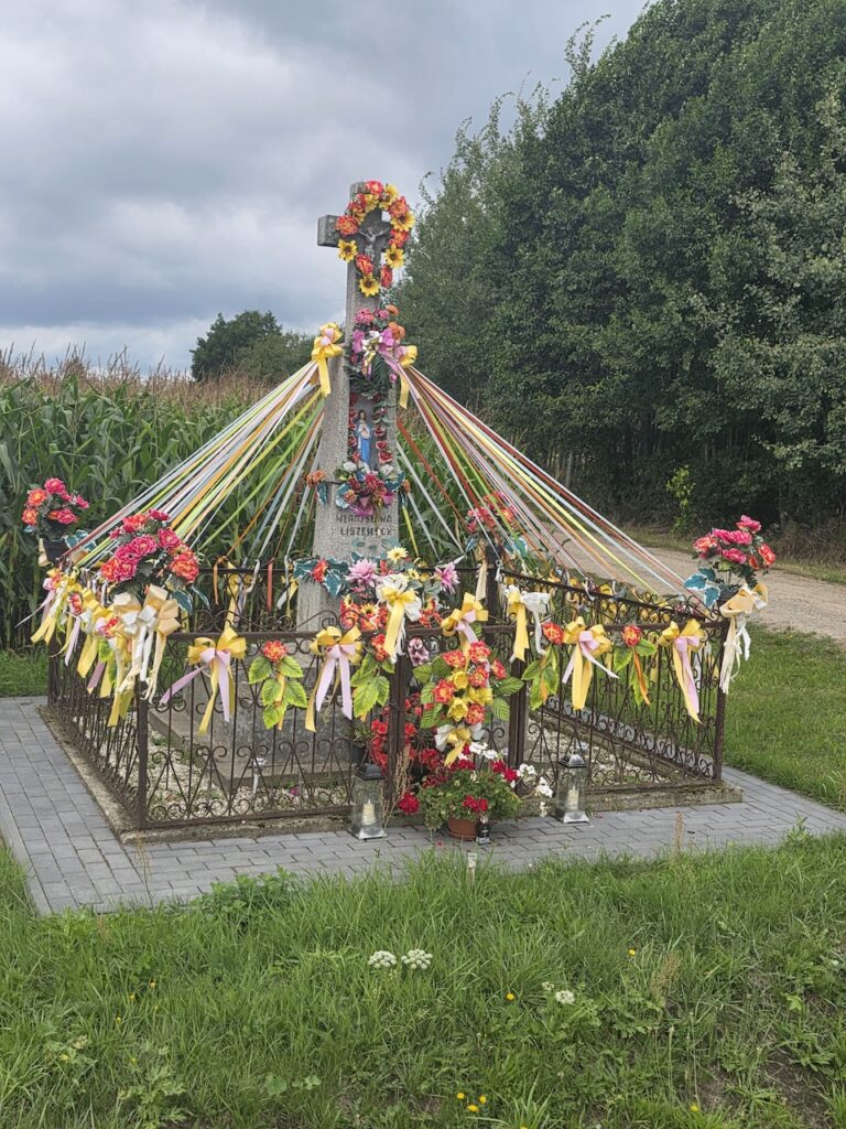
Riding Across the old East Germany during an election campaign
From Poland to Germany, the country does not change very much. We are still on the Northern European plain. A lot of lakes, fertile soil, growing corn, potatoes and sugar beet. The grain was already harvested. Corn is being made into silage for dairies, beef and ethanol.
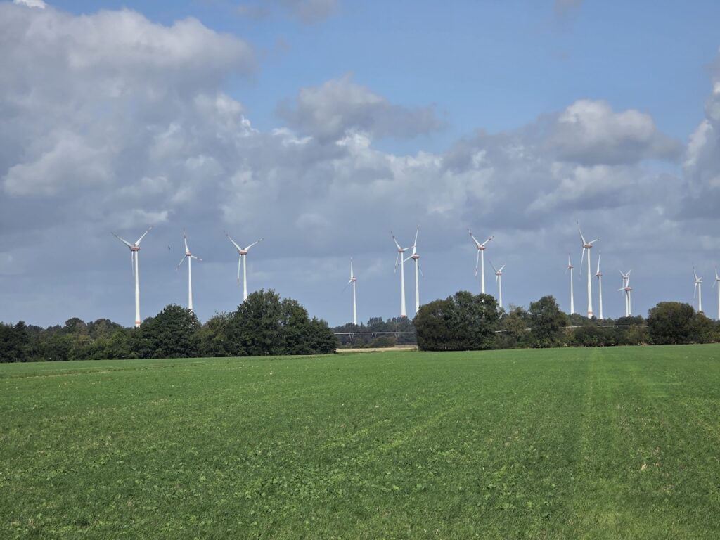
Right across this Baltic region there are countless wind turbines. There are some solar farms but, at 53-55 degrees north, the sun is filtered and not so strong.
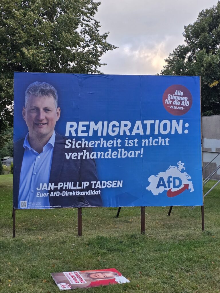
Two German states are running election campaigns. There is corflute everywhere. In Mecklenburg-West Pomerania, there are several parties but prominently they divide into the ‘new right’, the Christian Democrats, the social democrats, and the Greens.
Right-wing populists are on the rise. The German version is the AfD (Alternative for Deutschland).
Although these are state elections they are being largely fought on national issues. In Berlin, the Christian Democratic Union (CDU) have been in power for decades. The government is unpopular. Seemingly, this is because their leader, the Chancellor, is himself unpopular. But this is an anti-incumbency movement that afflicts many governments.
The AfD has a sometimes-imaginary view of the past. They say ‘think about Bismarck, not Hitler’. East Germans have cast themselves as the inheritors of the resistance to Hitler. Hitler was defeated from the east. These areas did not embrace the culture of guilt that dominated the West after the war.
It is even suggested by some in the AfD that West Germans are not even German anymore, just colonized Americans. Older Germans are targeted with ‘return-to-the-past’ messages. The young are targeted with messages highlighting national accomplishment, not collective crime, and they are told that they have been ripped off by the West Germans.
By the time we are in the Netherlands, results in Saxony-Anhalt are in. The AfD won 44%. This was more than double their 2021 vote.
The current populist parties in Australia, USA and Britain connect with voters through grievance about the past and, for the future, a sense of lost agency and hope. But the rise of the AfD is fuelled by more than that, including the new packaging.
Their new leader comes from a luxury perfume sales background and is said to be very smooth and that he is the biggest factor in their recent poll successes.
The party has been filling the policy space. Chief is reimmigration – removing whole classes of people from the country. They want non-German children in separate school classes. They would place children with disabilities in separate classes. Rainbow flags would be illegal. A referendum on EU membership. They are anti wind-power. But it is the nationalism (and popularity) that are most remarkable.
We move along, about 100km a day and we arrive in the great city of Hamburg. Politics here is different. It’s a multicultural and vibrant city.
We come across an enclave of Australians. There is even an AFL league. You can buy Arnotts biscuits. We stayed with a fellow Vivente owner in Hamburg.
Ride with GPS and Google Maps in Poland, Germany and Netherlands
The municipal authorities pass the details of all infrastructure to the public domain. Footpaths, bike paths and normal roads with a lot of parameters, are available to the apps.
The way the data is presented has developed a lot in recent years.
People in cars use route-finding on navigation apps in order to go the fastest way. They include or don’t include tolls. But on bikes we can curate the ride route much more. With two apps, in just a minute or two, we make a choice.
In Europe there are so many route options. That’s the case around much of the world although less so in Australia.
Google and Ride with GPS offer different ways of both plotting routes and of showing us where we are. Here are some observations.
Google wants us to be online. It is the dynamic aspect of their mapping, including constant rerouting, that help make it good. A google route has a url and we email it to ourselves.
Ride with GPS, which costs about $14 per month, needs you to be online to plot the route, but after you name and save a map, such as for tomorrow, it comes up in a directory as a flat file with a route in a fairly fine red line. It has not got a url but is shareable somehow. It is a zoomable map and contains immense detail including what side of the road the bike path is on, where to cross the road, land profile, road surfaces, and distances. This is the case in these three countries where governments cater so well for bikes.
As said, the platforms get their data from road authorities. But do they get the same data? Do they get it as regularly? Do they have a way of constantly integrating new data? Even showing roadworks. Do some apps run the data refresh more often than others?
On most days we map routes in both apps and try to understand what in their data or their underlying program might have caused routes to vary. Also, to find advantages and perhaps make navigation even better than it might have been in only a single app.
It was definitely better to have both apps running.
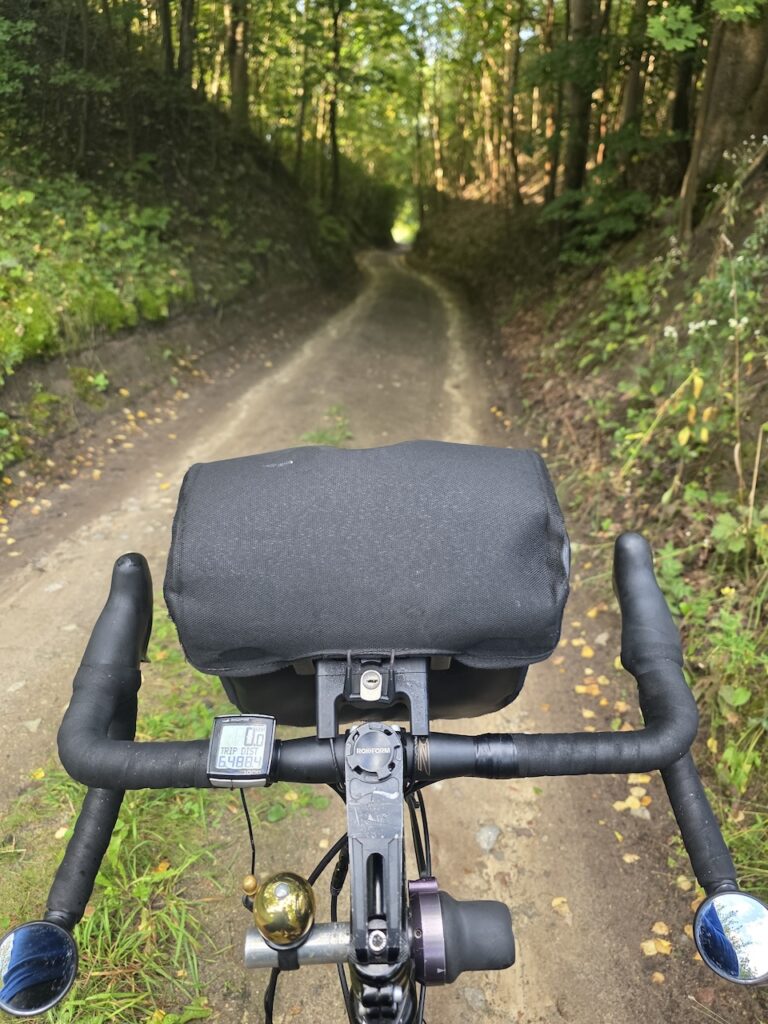
Google does not make it easy to see the road surfaces. In the sandy Baltic regions, especially if it’s a long day or if there are headwinds, you would like to know in advance if a stretch is a sandy track through a big pine forest or a tarred road. There’s a big difference.
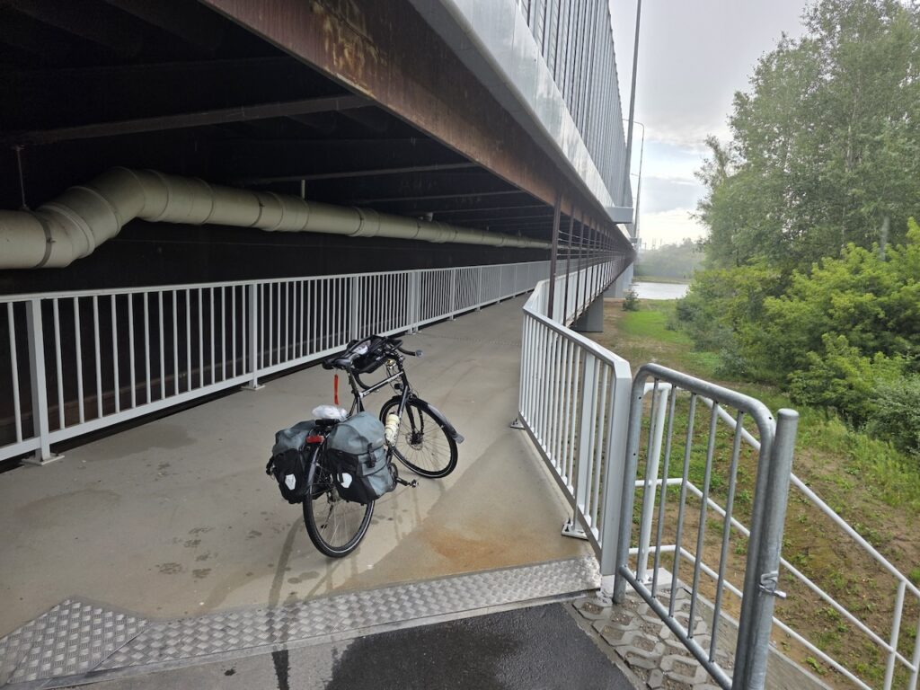
The Google program seems to think we prefer to be far away from motor vehicles. Sometimes we do but it is still best to know. It might be about to start raining. Or you may be getting tired and want the shortest and quickest way to cover the last part of the day.
We are still fans of Google Maps though. A good feature is how you constantly see how far you have to go (assuming you have an endpoint for the day). Another is the dynamic re-routing that you can do all day, as long as you are online. You can do it whilst riding. You can reroute in Ride with GPS too but not whilst you are riding. The app allows waypoints, but just gives you one route. Distance-to-go was not showing. It might have been in there somewhere but if we want to know distance to go, we just cross to google maps.
Google’s drive/bike/walk options makes it very handy during a day’s ride. We look at the “drive” option sometimes. A lot of secondary roads in Germany have 70kph speed limits and signs saying watch out for bikes. But Google won’t show you them if you are looking for a bike route. But in a second you can bring up the car route, which Google thinks we want to avoid but which might be 70kph limited and which might often have a separated bike path for much of it. Just not all of it.
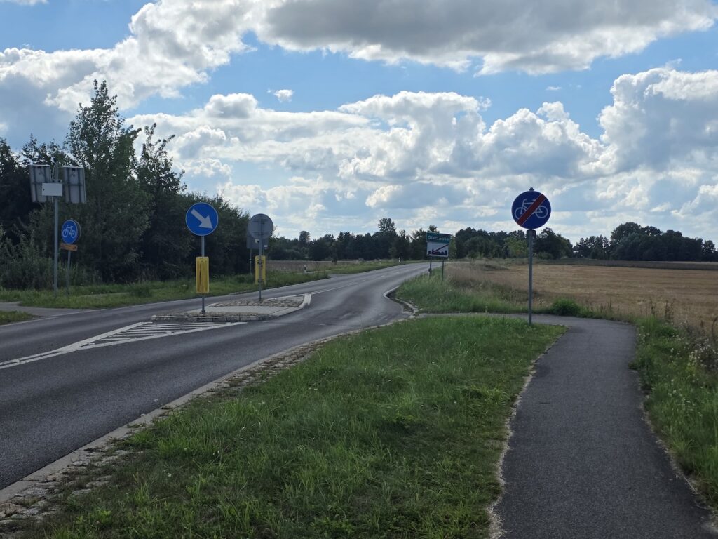
Google did not offer the road below under the cycle option.
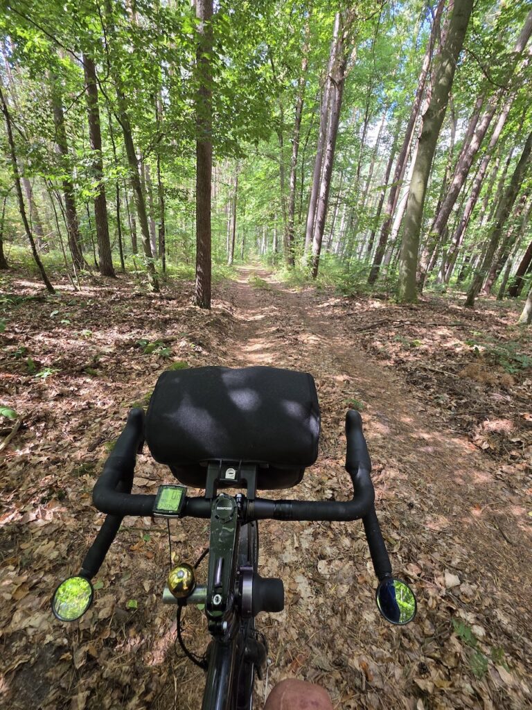
Ride with GPS often has wildly incorrect climb and descent values.
Ride with GPS has a fine red line. The road crossings, such as the one below, are easy to see. Google Maps have a heavy blue line which is often misrepresentative of the surface.
In many parts of the world, google maps do not have the cycling option activated. Where it is activated, such as in Europe, they try not to show a route that has traffic on it. This produces some hilarious results at times.
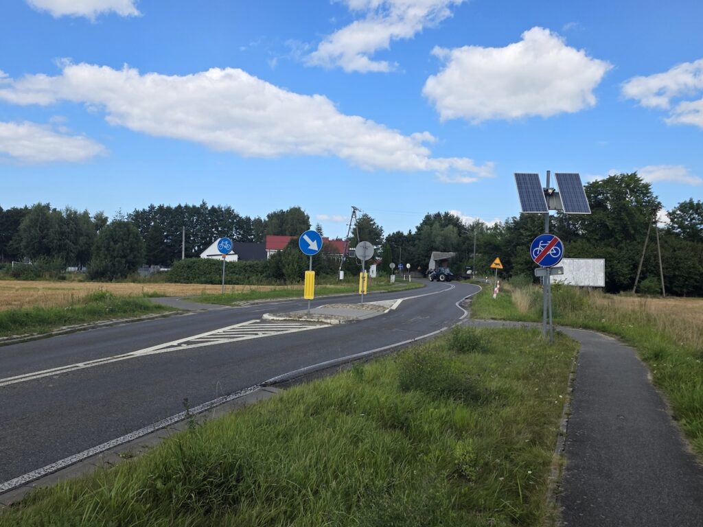
Ride with GPS might send you on a long alternative route just because of a very short “bike-unfriendly” section, e.g. across a filter lane at a highway access point. An entirely different route, over a day, due to one 5m wide filter lane.
We’ve been remembering riding in Germany and the Netherlands with paper maps, before smartphones (2008). What we have now is extraordinary. We had to rely on compasses. In the 1990s we even supplied a compass on our bikes! Sometimes we rode in traffic just because that’s where the road signs were.
The infrastructure we have been on across northern Europe is local level. The apps have all the information and allow us to still ride big distances while being “in the local”.
Next year we will use and review ‘Organic Maps’ and ‘Cycle.Travel’. Several Vivente riders are using them.
Thatching in NW Germany and adjacent Netherlands
Everyone knows there are thatched roofs. What we did not know is that this is a continuing roofing technique.
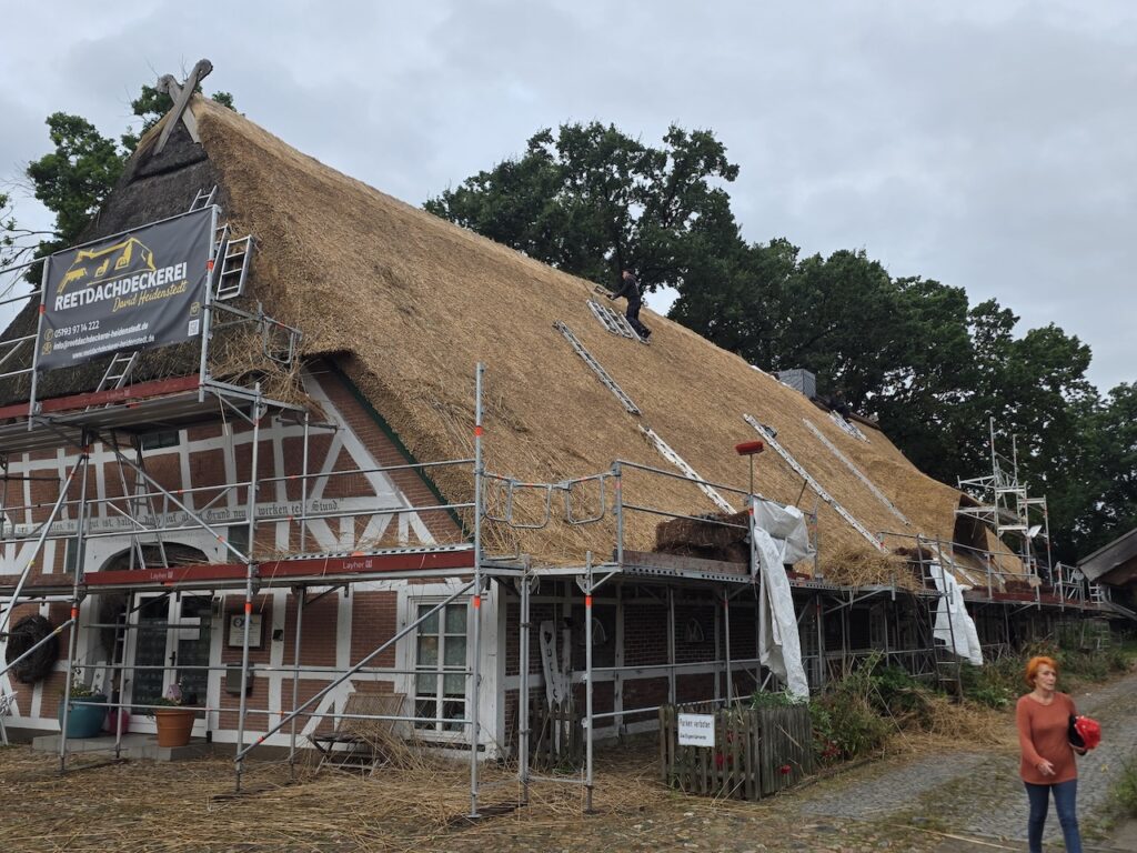
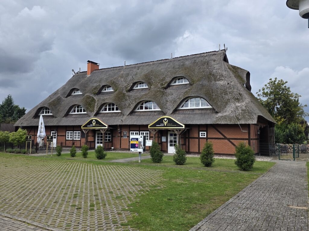
No doubt thatched roofs deteriorate over time. If they then get replaced by a metal or tile roof, then thatching would fade out. But we passed some big new thatching jobs.
And lots of impressive thatched roofs generally.
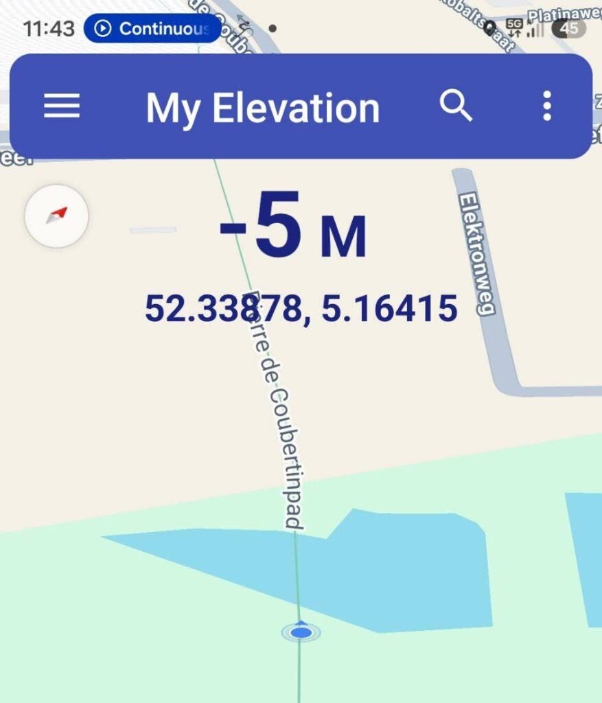
26% of The Netherlands is below sea level.
Another 50% is between sea level and 1 metre.
It’s always interesting to ride in this region where living and working below sea level is normal. As kids, we all learnt about the boy who kept his hand in the hole in the dyke. Everyone depended upon his decision and determination.
The physical infrastructure is amazing but a “need to take care” and a “matter of factness” pervade the character of Dutch people and, arguably, arise from them living below sea level.
Bike infrastructure in the Netherlands
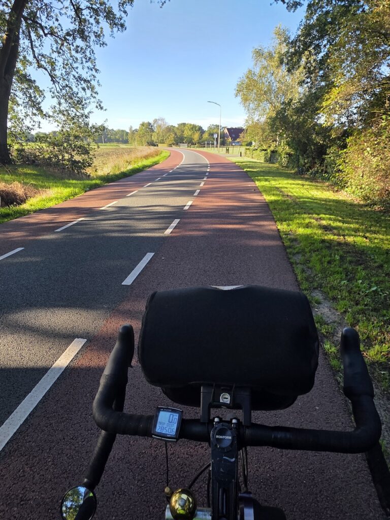
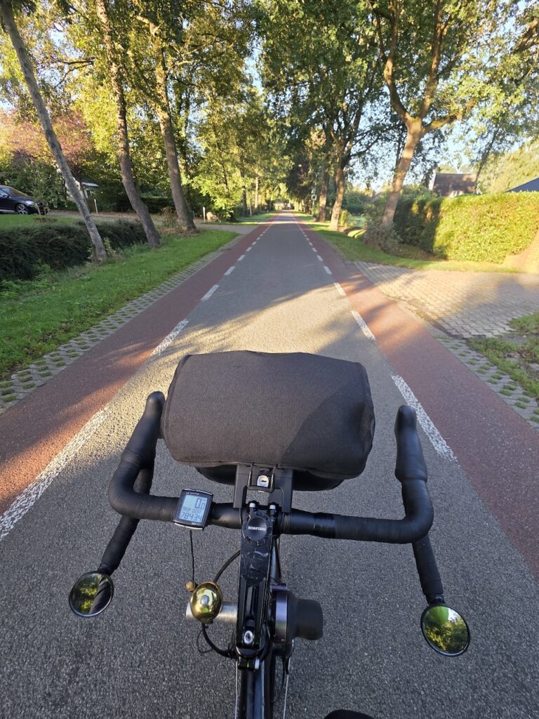
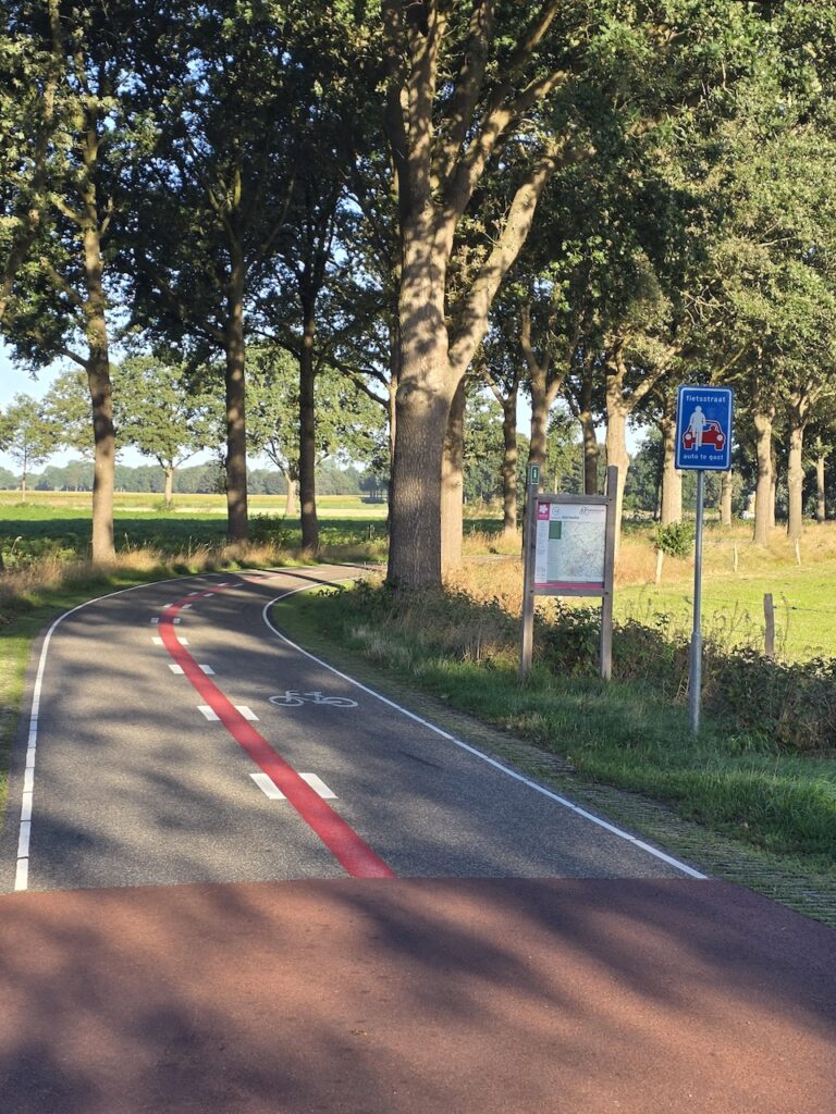
We are full of praise for infrastructure in Poland and Germany but in the Netherlands, it is next-level.
In Amsterdam there are far more people on bikes than in cars. In regional cities like Zwolle it’s the same.
We could have taken countless photos of families, of elderly people, of teenagers and of young kids on bikes, out in the country. But we felt self conscious about doing that. So we took a set of shots early on a Sunday morning before people were out.
Testing report
We already knew the Goodyear Transit Tour tyres were good. We didn’t get a single puncture in 1,750km. Not a single mechanical issue. We didn’t even pump up the tyres again after leaving Warsaw Airport.
With a Soigneur long sleeve woollen jersey, we cut down on suncream use. These Kiwi merino jerseys are so superior to acrylic. Thank you to the folks that put us onto them.
The overall conclusion about the cycling apps is that it is great to have two. Each one can do a few things that the other cannot. We are happy with both Google Maps and Ride with GPS. For our coming ride in India we will use them both again. Google runs well there. Ride with GPS, will make for an interesting comparison.
Coming up
On the coming ride in India (Nagpur, Bhopal, Surat, Mumbai) we are going to test a suspension seatpost. We will start off with the new post and after a week swap back to the standard post. The contention is that after a week, the bum hardens up a bit and there’s no longer any point in paying $400 extra for a suspension post. We will check!